
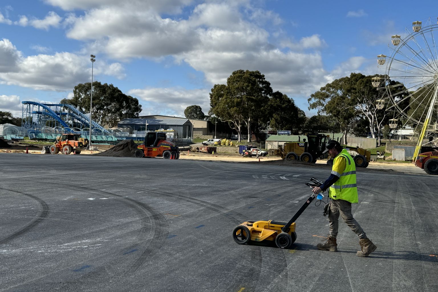
Know what’s below.Underground service locating in Perth and across WA
GPR scanning, physical verification, survey pickup and detailed reporting, metro and regional.
- CertLoc accredited
- 15+ years experience
- Available 24/7
- Multi-array 3D GPR
- AS 5488-2013
- Metro and regional WA
Services.
Locating, radar, verification, mapping and clash detection across metropolitan and regional Western Australia.
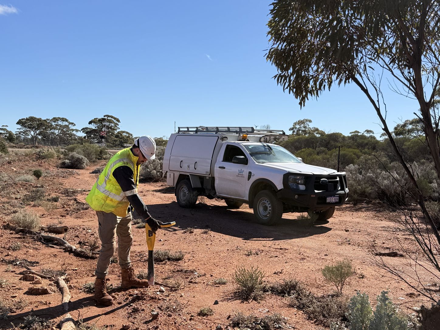
Utility Locating
Underground services located and marked with the latest technology to pinpoint the exact proximity of the service.
View service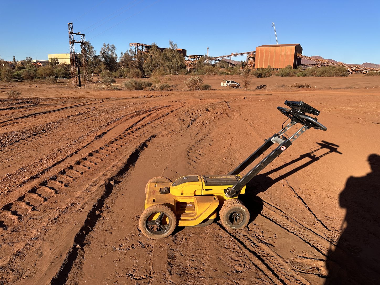
Ground Penetrating Radar
Non-invasive identification of underground assets, including blind searches where no utility records exist.
View service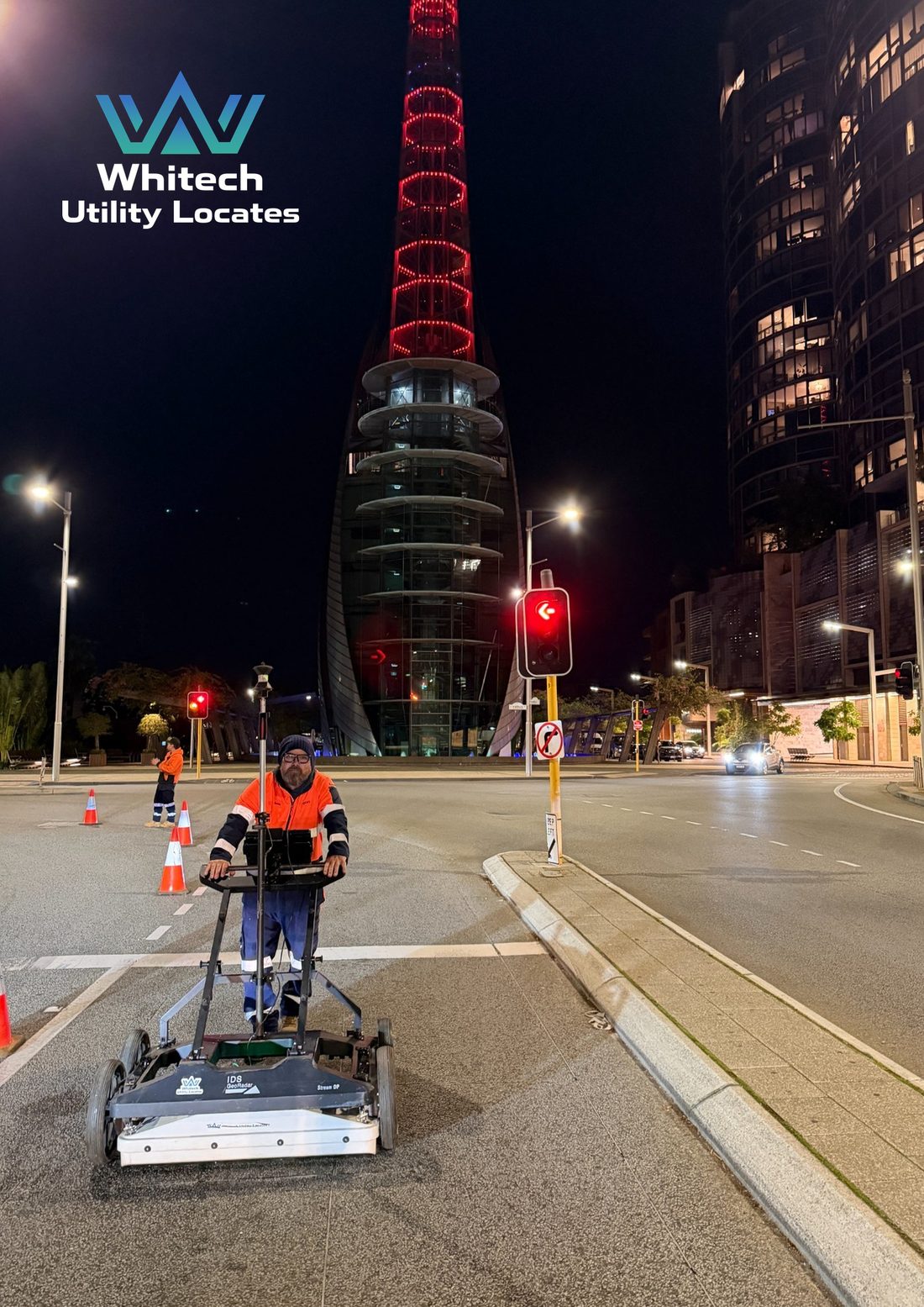
Multi-Array 3D Ground Penetrating Radar
High-density subsurface mapping for complex sites and service corridors.
View service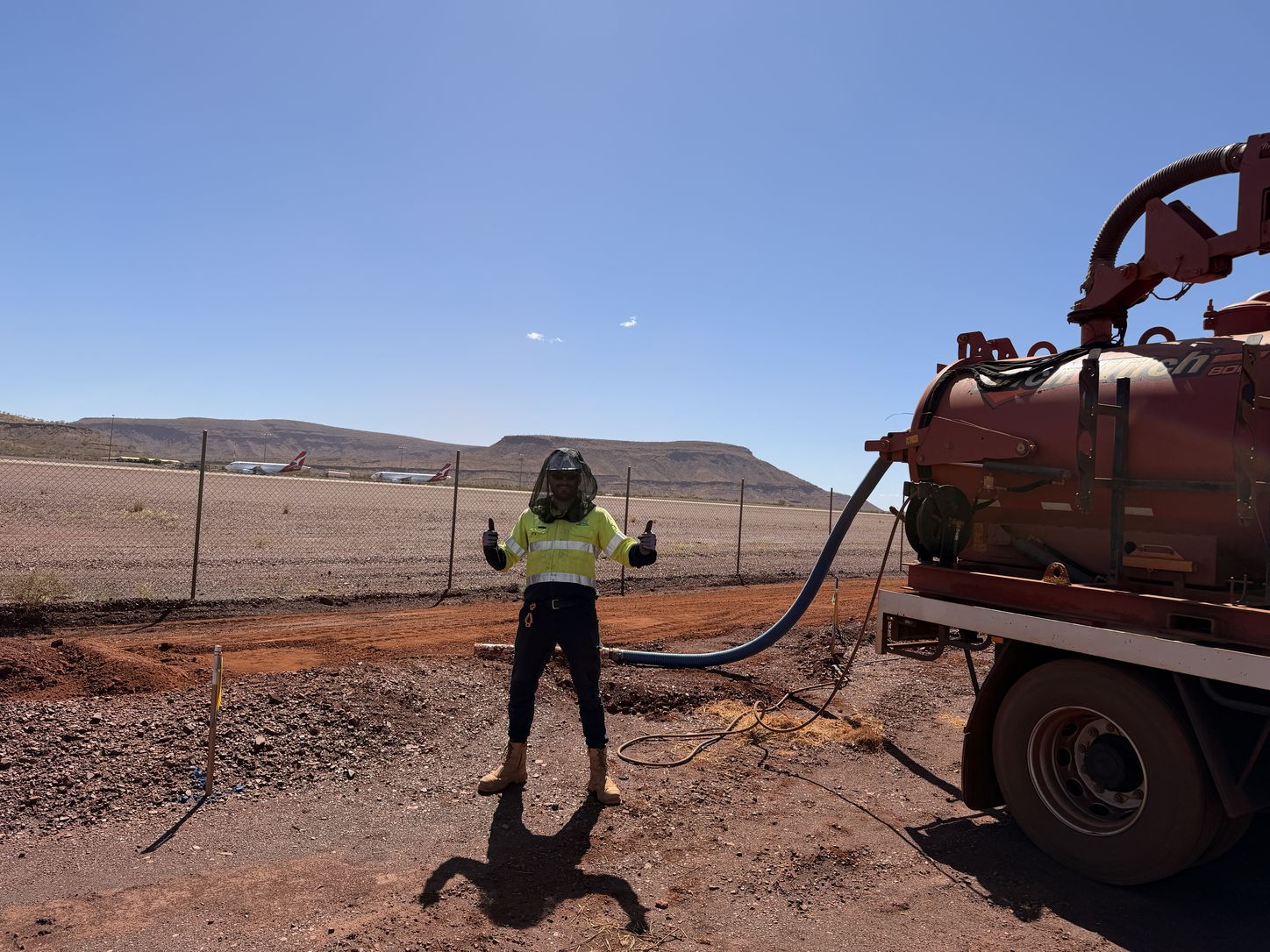
Vacuum Excavation
Non-destructive digging that confirms and identifies underground assets to AS 5488-2013 Quality Level A.
View service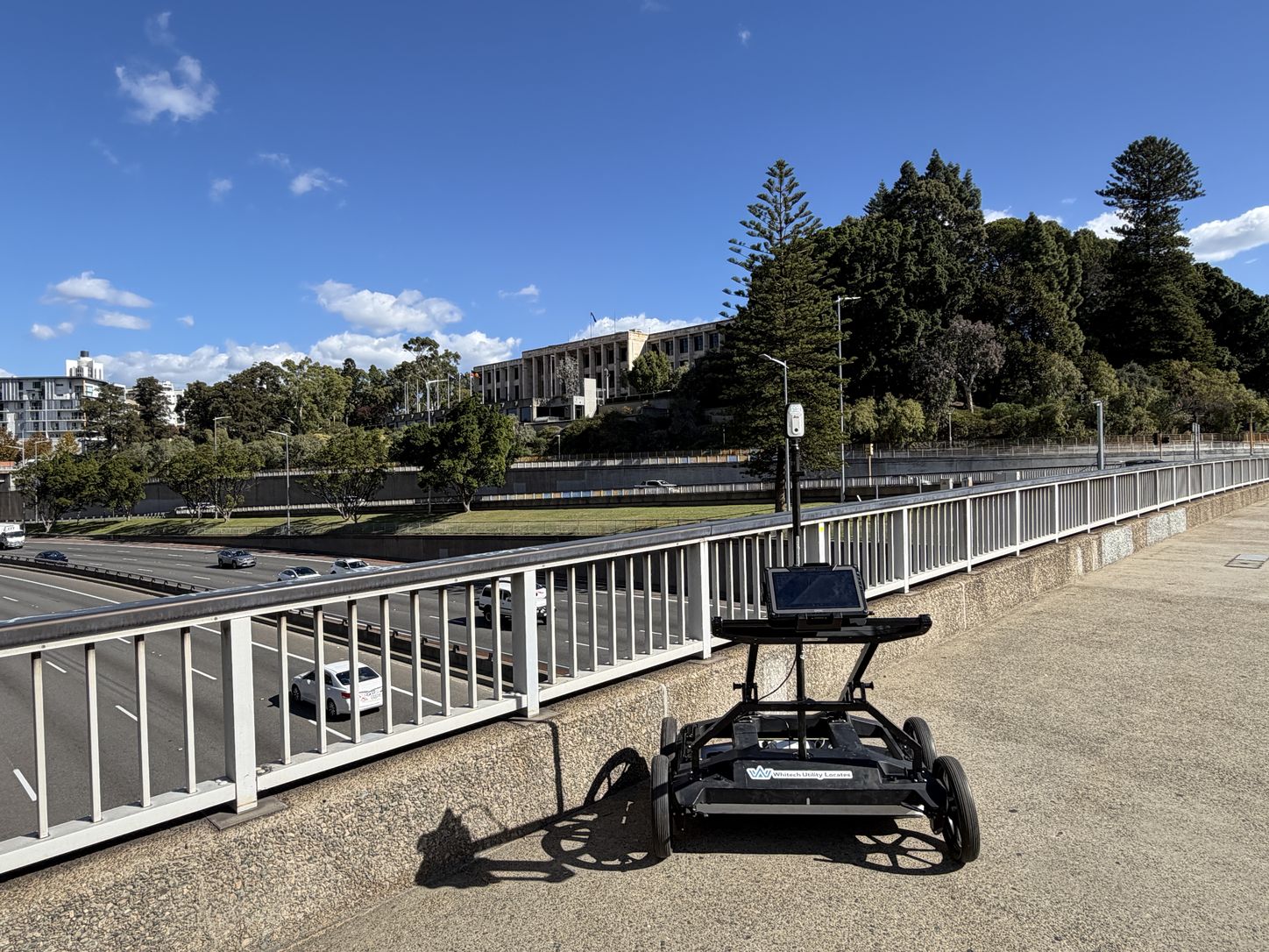
Utility Mapping and Survey
CAD and BIM 3D modelling, survey pickup and drafting that turn field work into usable project data.
View service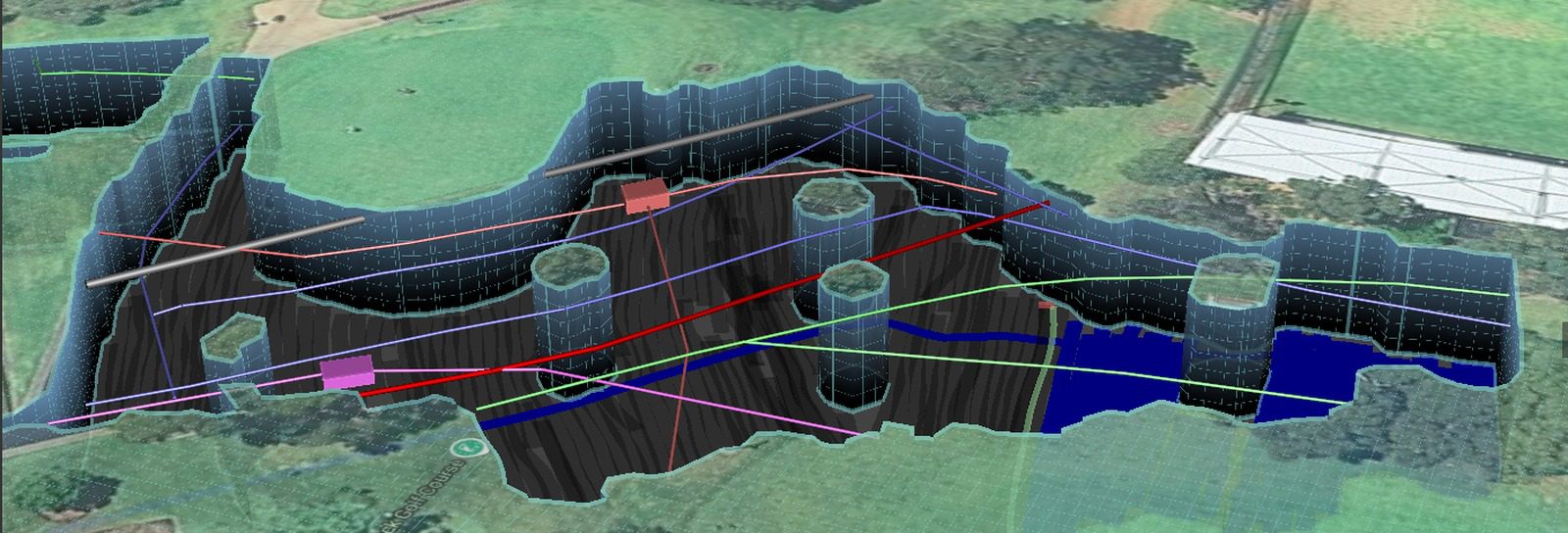
Clash Detection
3D models built from your design, compared against existing site conditions to verify clashes before they occur.
View serviceMulti-array 3D GPR.
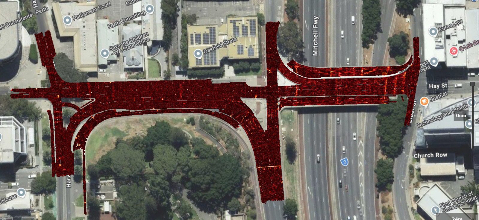
Multi-array GPR uses multiple antenna channels arranged across the width of the system. Closely spaced measurements are collected in a single pass and processed into a detailed 3D dataset, allowing the survey area to be reviewed from multiple directions and depths.
- Wide, high-density coverage with fewer passes
- True multi-channel 3D datasets rather than isolated profiles
- Improved visibility of complex and overlapping service corridors
- Georeferenced results integrate with survey and project drawings
| Aspect | Multi-array GPR | Traditional GPR |
|---|---|---|
| Coverage | Wide swath in each pass | Single profile per pass |
| Dataset | Dense multi-channel 3D data | Individual 2D profiles |
| Field efficiency | Suited to large and congested areas | Suited to targeted investigations |
| Visualisation | Depth slices and 3D review | Profile-based interpretation |
| Positioning | GNSS, total station and encoder | GNSS or local reference |
| Best suited to | Roads, corridors and area mapping | Tight access and specific targets |
Multi-array and traditional single-channel GPR both remain valuable tools. The most appropriate system depends on the target, access, required coverage and deliverables.
About Whitech.
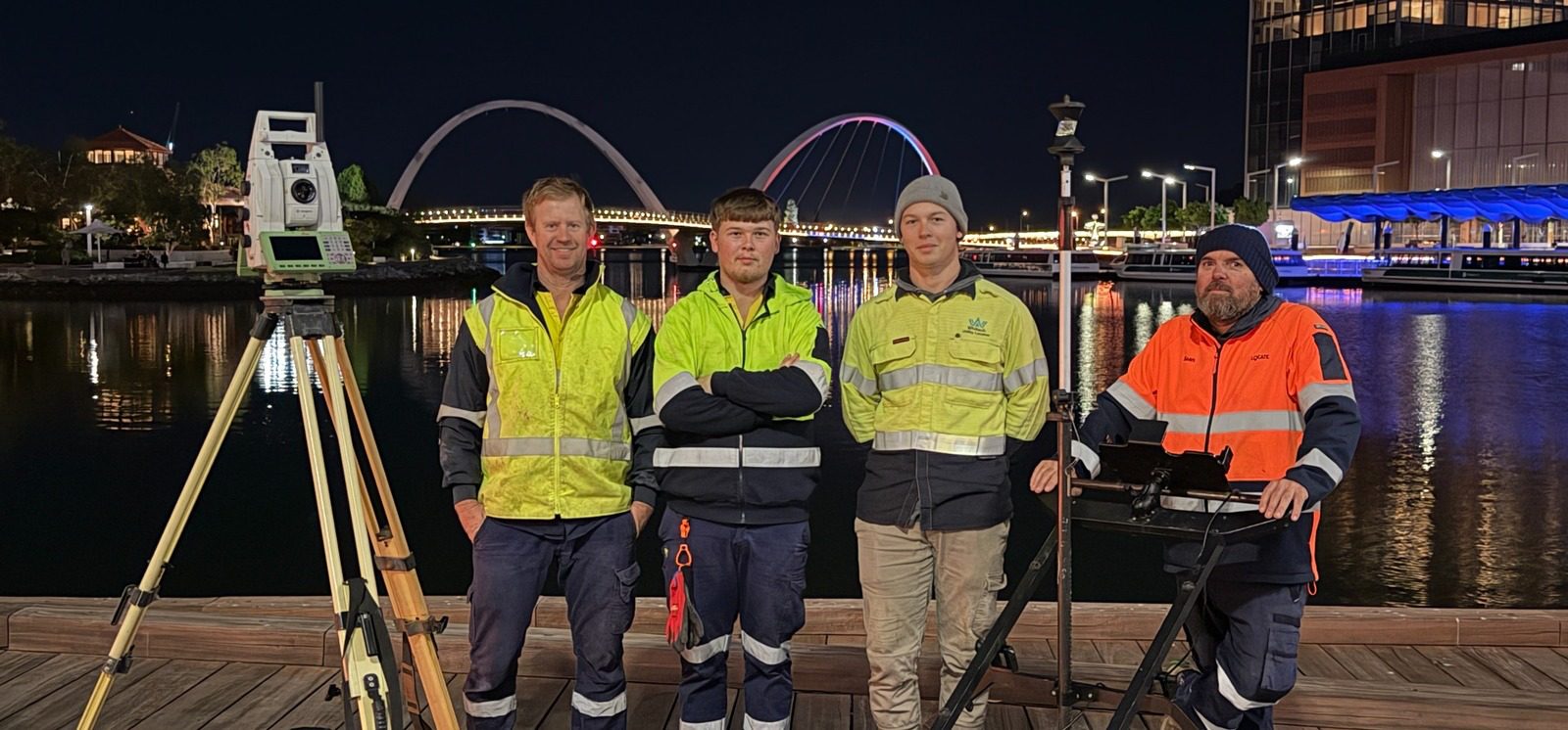
Whitech Utility Locates is a Western Australian company specialising in underground service locating, Ground Penetrating Radar, vacuum excavation, utility mapping and clash detection.
We support civil contractors, drilling companies, utility providers, surveyors, engineers, local governments and asset owners across metropolitan, regional and remote areas of Western Australia.
Before excavation starts, know what’s below.
Tell us the site, the programme and what is planned. Whitech will scope the investigation to the actual risk and give you a clear price.