
Utility Mapping and Survey
CAD and BIM 3D modelling, survey pickup and drafting that turn field work into usable project data.
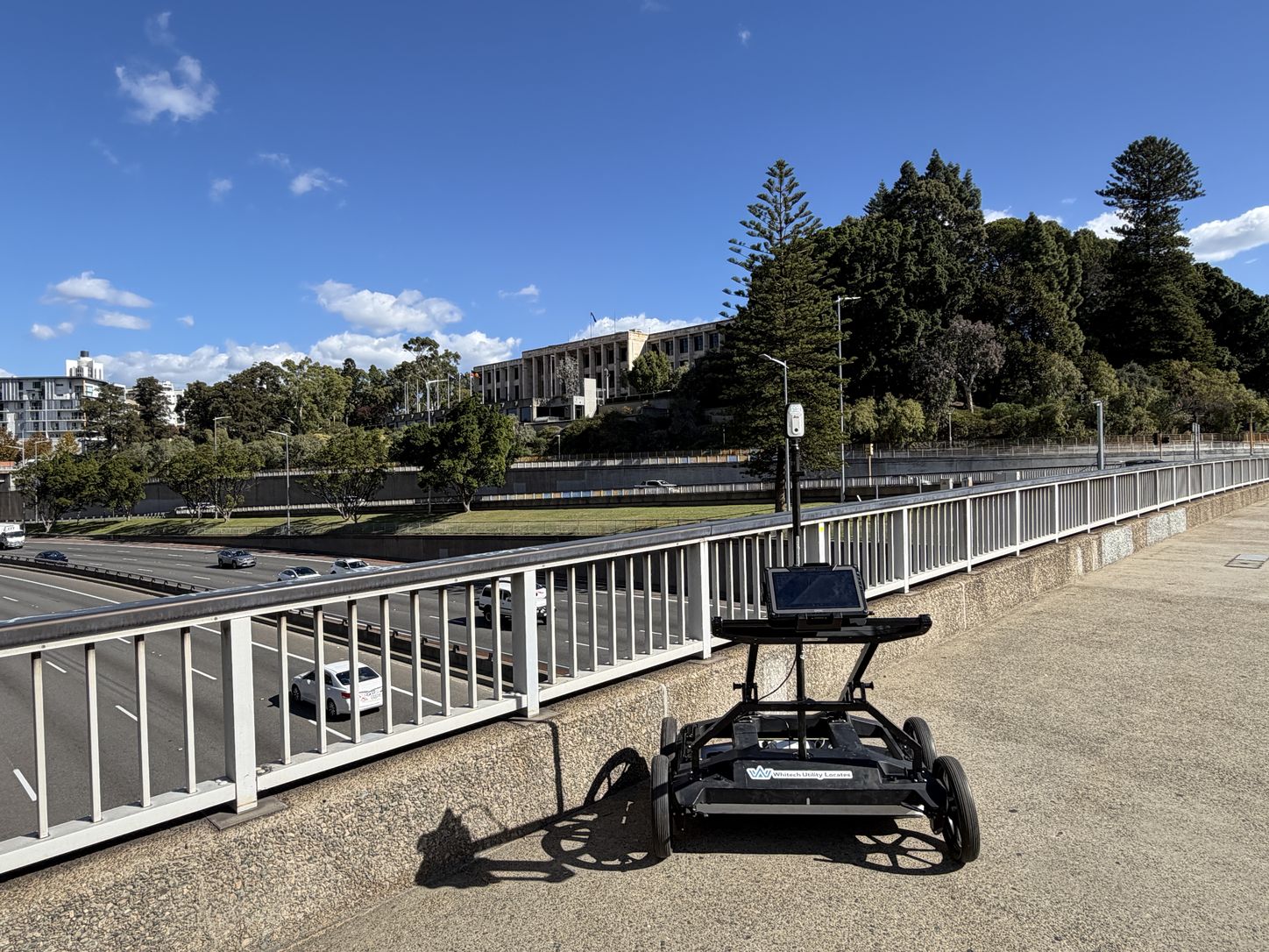
Whitech Utility Locates offer a range of CAD and BIM 3D modelling services. Our team has the knowledge and experience to undertake 3D modelling and drafting projects.
What we can provide
- Plan sets
- 3D models
- GIS
- 12d
- BIM 3D modelling
- Asset visualisations
- UAV imagery
Survey pickup
Alignments, change points, pit and pothole positions, surface features and levels are captured as coordinated data in your project coordinate system and datum. Marks on the ground disappear with the next rain. Surveyed data does not.
Quality levels
AS 5488 classifies how well a buried service is actually known. Quality Level C is surveyed visible surface features correlated with records, Quality Level B is services located from the surface and surveyed, and Quality Level A is services physically exposed, measured and surveyed. We attribute quality levels element by element rather than making one blanket claim for the job.
How it works with the rest
Mapping and survey are where plan review, locating, radar and potholing become one consistent account of the site.
Before excavation starts, know what’s below.
Underground service locating, GPR scanning, physical verification, survey pickup and detailed reporting across Western Australia.