
Services
Six services covering the full investigation, from the asset owner records through to a 3D clash check against your design.
- CertLoc accredited
- 15+ years experience
- Available 24/7
- Multi-array 3D GPR
- AS 5488-2013
- Metro and regional WA
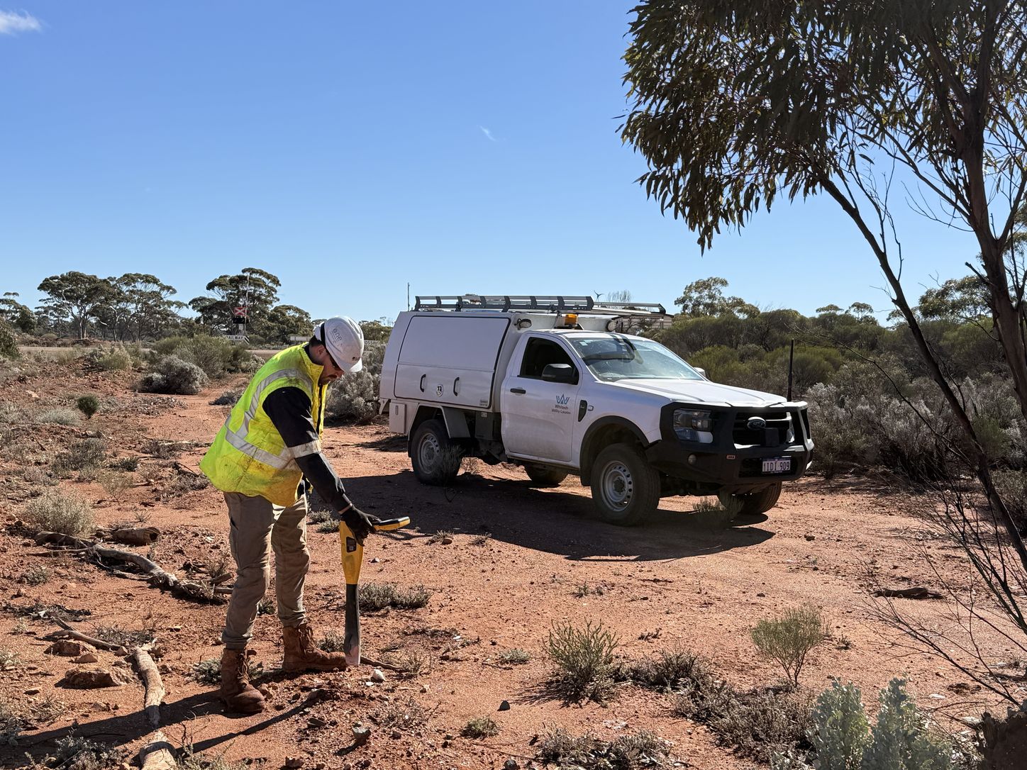
Utility Locating
Underground services located and marked with the latest technology to pinpoint the exact proximity of the service.
View service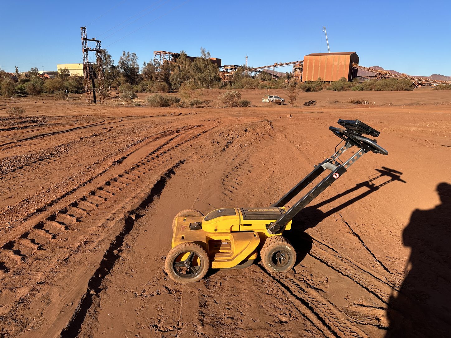
Ground Penetrating Radar
Non-invasive identification of underground assets, including blind searches where no utility records exist.
View service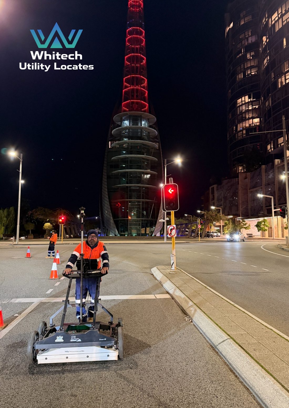
Multi-Array 3D Ground Penetrating Radar
High-density subsurface mapping for complex sites and service corridors.
View service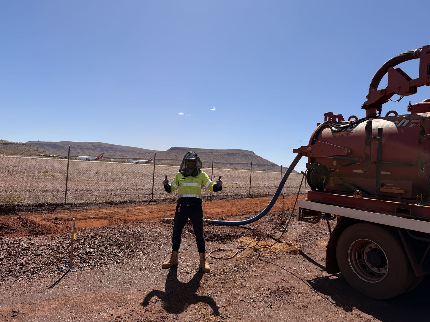
Vacuum Excavation
Non-destructive digging that confirms and identifies underground assets to AS 5488-2013 Quality Level A.
View service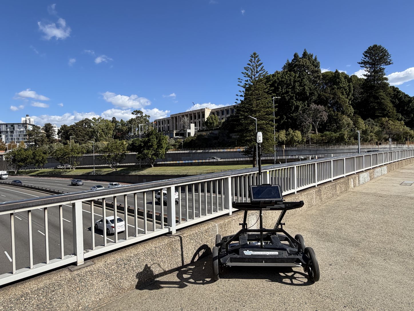
Utility Mapping and Survey
CAD and BIM 3D modelling, survey pickup and drafting that turn field work into usable project data.
View service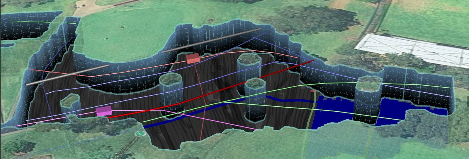
Clash Detection
3D models built from your design, compared against existing site conditions to verify clashes before they occur.
View serviceHow they fit together.
Most projects use several of these together, because no single method answers every question about what is underground.
What is the difference between electromagnetic locating and GPR?
When do I need multi-array 3D GPR rather than a standard scan?
Do I still need a BYDA enquiry if I engage a locator?
Can you locate non metallic pipes and conduit?
How do I find out the exact depth of a service?
Before excavation starts, know what’s below.
Underground service locating, GPR scanning, physical verification, survey pickup and detailed reporting across Western Australia.