
Ground Penetrating Radar
Non-invasive identification of underground assets, including blind searches where no utility records exist.
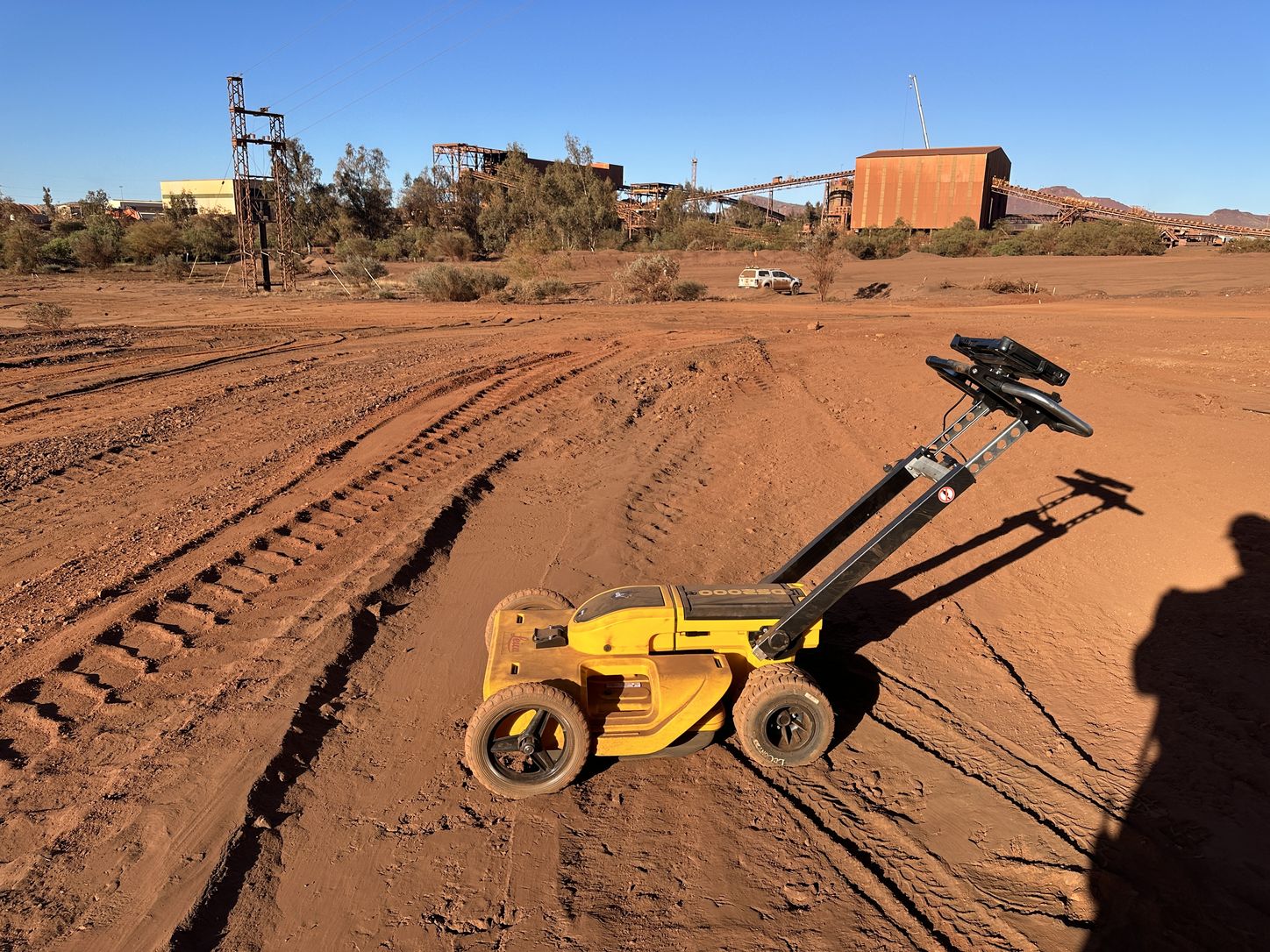
Whitech Utility Locates utilises ground penetrating radar to identify underground assets in a non-invasive manner. GPR is preferable to traditional, invasive methods of service locating such as potholing, and enables our team to conduct blind searches where clients do not have access to existing utility information.
What it detects
- Metal
- Plastic
- PVC
- Concrete
- Natural materials
Surfaces it can be used on
- Bitumen roads
- Grass
- Concrete slab
- Many other surfaces
How it reads
A pulse is transmitted into the ground and the reflections returning from boundaries between materials are recorded. A pipe or cable crossing the survey line returns a hyperbolic reflection, and the shape of that response gives position and an estimated depth.
Beyond services
Radar responds to changes in the ground, not only to services. Voids, disturbed material, backfilled trenches, old pavement layers and buried structures each return a response that differs from the surrounding material, which makes it the method for investigating subsidence and assessing ground before piling or drilling.
How it works with the rest
Single-channel radar suits targeted investigations and tight access. Where the area is large or the services overlap, multi-array collection covers far more ground for the time on site.
Before excavation starts, know what’s below.
Underground service locating, GPR scanning, physical verification, survey pickup and detailed reporting across Western Australia.